

Home » Free Printables » Printable Maps » Virginia
Printable Virginia Map Collection
County Map - City Map - State Outline Map

Virginia County Map with County Names

Map of Virginia Cities with City Names
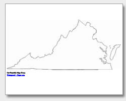
Virginia State Outline Map
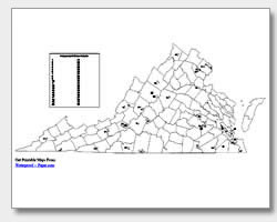
Blank Virginia County Map
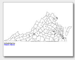
Blank Virginia City Map
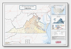
Virginia Congressional District Map
(114th Congress)
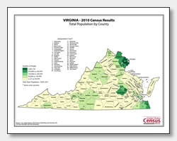
Virginia County Population Map
(2010 Census)
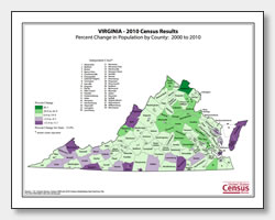
Virginia County Population Change Map
(2000 to 2010 Census)
ADVERTISEMENT

Click the map or the button above to print a colorful copy of our Virginia County Map. Use it as a teaching/learning tool, as a desk reference, or an item on your bulletin board.
Try our free printable Virginia maps! Our map collection includes: two major city maps (one listing ten cities and one with location dots), two county maps (one listing the counties and one blank), and a state outline map of Virginia. The major city map shows the cities: Portsmouth, Arlington, Alexandria, Roanoke, Hampton, Norfolk, Virginia Beach, Chesapeake, Newport News and the state capitol of Richmond. These maps are .pdf files which will easily download and print on almost any printer. You will find all of our maps useful in the classroom, office or at home.