

Home » Free Printables » Printable Maps » Utah
Printable Utah Map Collection
County Map - City Map - State Outline Map
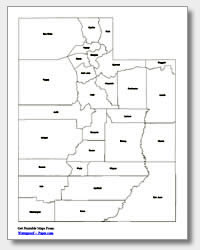
Utah County Map with County Names
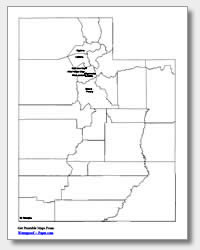
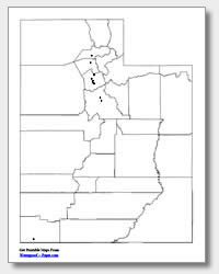
Map of Utah Cities with City Names
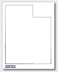
Utah State Outline Map
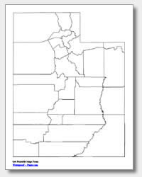
Blank Utah County Map
Blank Utah City Map
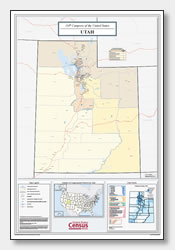
Utah Congressional District Map
(114th Congress)
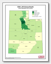
Utah County Population Map
(2010 Census)
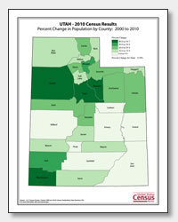
Utah County Population Change Map
(2000 to 2010 Census)
ADVERTISEMENT
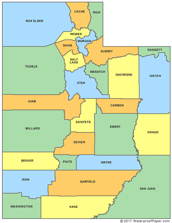
Click the map or the button above to print a colorful copy of our Utah County Map. Use it as a teaching/learning tool, as a desk reference, or an item on your bulletin board.
Get your free printable Utah maps here! You will find a variety of uses for these maps, whether it is at home, the office or school. These .pdf files are downloadable and will print easily on almost any printer. Our collection of maps include: two major cities map (one with ten cities listed and one with location dots), an outline map of the state of Utah, and two county maps (one with the county names listed and one without). The major cities map displays the following Utah cities: Ogden, Layton, West Valley City, West Jordan, Taylorsville, Sandy, Orem, Provo, St. George and Salt Lake City, the capital.