

Home » Free Printables » Printable Maps » New Jersey
Printable New Jersey Map Collection
County Map - City Map - State Outline Map
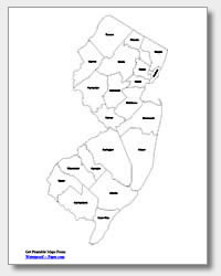
New Jersey County Map with County Names
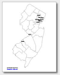
Map of New Jersey Cities with City Names
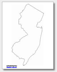
New Jersey State Outline Map
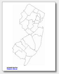
Blank New Jersey County Map
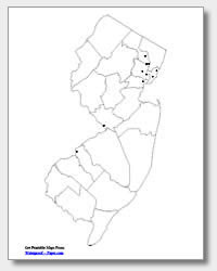
Blank New Jersey City Map
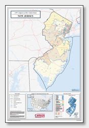
New Jersey Congressional District Map
(114th Congress)
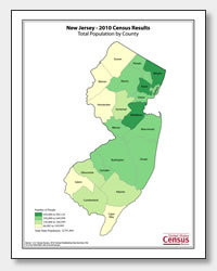
New Jersey County Population Map
(2010 Census)
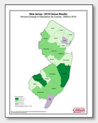
New Jersey County Population Change Map
(2000 to 2010 Census)
ADVERTISEMENT
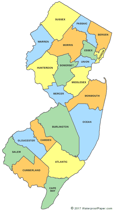
Click the map or the button above to print a colorful copy of our New Jersey County Map. Use it as a teaching/learning tool, as a desk reference, or an item on your bulletin board.
Here you will find a nice selection of free printable New Jersey maps. They include: two city maps of New Jersey (one with ten major cities listed and the other with location dots), two county maps (one with the county names listed and the other without), and an outline map of the state. These maps are .pdf files which can be easily downloaded and printed on almost any printer. The major cities we list on our cities map for New Jersey are: Camden, Paterson, Clifton, Passaic, East Orange, Union City, Newark, Jersey City, Elizabeth and the state capital, Trenton. Whether for educational or personal use, try these maps today in the classroom, office or home!