

Home » Free Printables » Printable Maps » Missouri
Printable Missouri Map Collection
County Map - City Map - State Outline Map
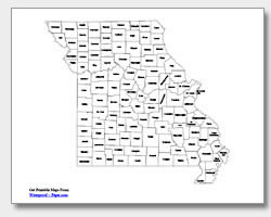
Missouri County Map with County Names
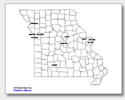
Map of Missouri Cities with City Names
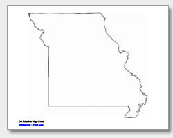
Missouri State Outline Map

Blank Missouri County Map
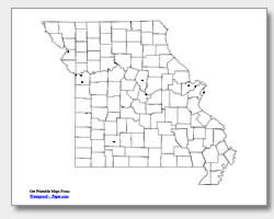
Blank Missouri City Map
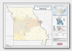
Missouri Congressional District Map
(114th Congress)
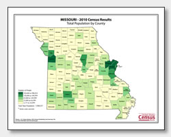
Missouri County Population Map
(2010 Census)
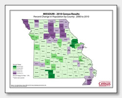
Missouri County Population Change Map
(2000 to 2010 Census)
ADVERTISEMENT
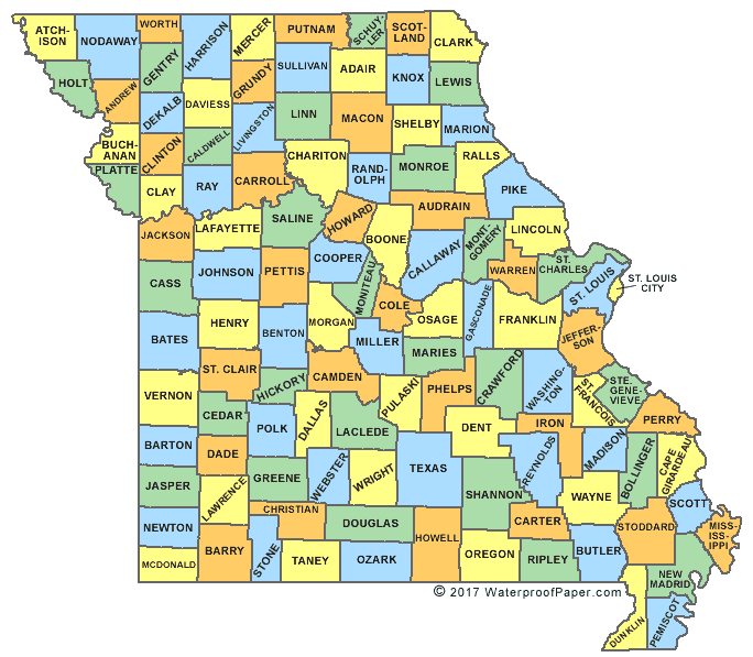
Click the map or the button above to print a colorful copy of our Missouri County Map. Use it as a teaching/learning tool, as a desk reference, or an item on your bulletin board.
Download free printable Missouri maps for educational or personal use! These maps are .pdf files that download and are easy-to-print on almost any printer. The maps available include: an outline map of Missouri, two city maps (one with ten major cities listed and the other with location dots), and two county maps (one with the county names listed and the other without). The cities listed on the city map are: Saint Joseph, Kansas City, Independence, Lee's Summit, O'Fallon, Saint Charles, Saint Louis, Columbia, Springfield and Missouri's capital city of Jefferson City.