

Home » Free Printables » Printable Maps » Massachusetts
Printable Massachusetts Map Collection
County Map - City Map - State Outline Map
Massachusetts County Map with County Names
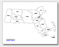
Map of Massachusetts Cities with City Names
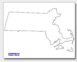
Massachusetts State Outline Map
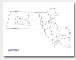
Blank Massachusetts County Map
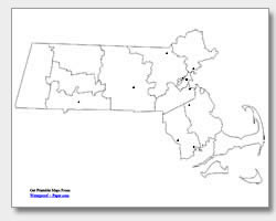
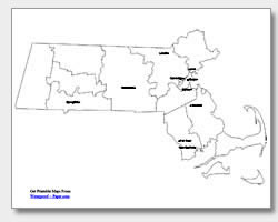
Blank Massachusetts City Map
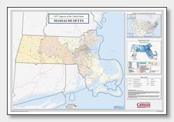
Massachusetts Congressional District Map
(114th Congress)
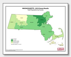
Massachusetts County Population Map
(2010 Census)
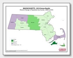
Massachusetts County Population Change Map
(2000 to 2010 Census)
ADVERTISEMENT
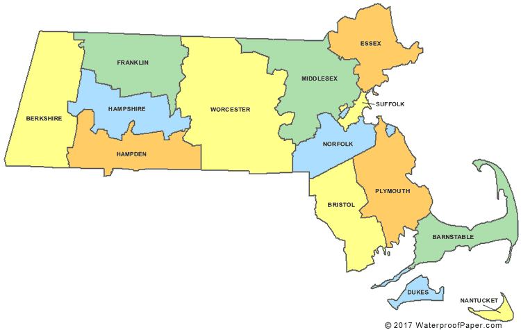
Click the map or the button above to print a colorful copy of our Massachusetts County Map. Use it as a teaching/learning tool, as a desk reference, or an item on your bulletin board.
Here we offer free printable Massachusetts maps for your personal use. The .pdf files are easy-to-print with almost any printer. Just download and print them! You will find this collection of maps to be helpful in the classroom or at home. The five maps for Massachusetts include: two county maps (one with the county names and one without), an outline map of the state, and two major city maps (one with the city names listed and one with location dots). The cities listed are: Springfield, Worcester, Lowell, Cambridge, Lynn, Quincy, Brockton, Fall River, New Bedford and the capital, Boston.