

Home » Free Printables » Printable Maps » Idaho
Printable Idaho Map Collection
County Map - City Map - State Outline Map
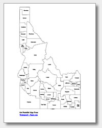
Idaho County Map with County Names
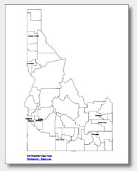
Map of Idaho Cities with City Names
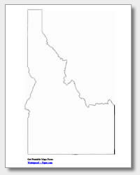
Idaho State Outline Map
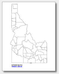
Blank Idaho County Map
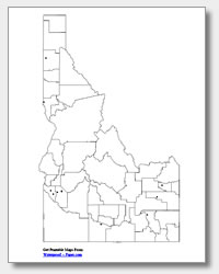
Blank Idaho City Map
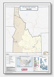
Idaho Congressional District Map
(114th Congress)
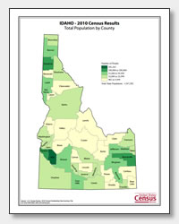
Idaho County Population Map
(2010 Census)
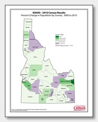
Idaho County Population Change Map
(2000 to 2010 Census)
ADVERTISEMENT
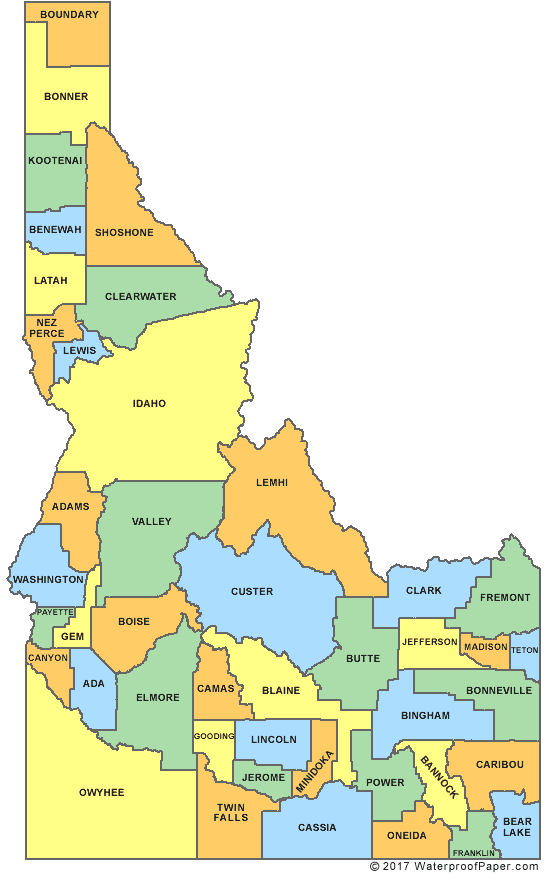
Click the map or the button above to print a colorful copy of our Idaho County Map. Use it as a teaching/learning tool, as a desk reference, or an item on your bulletin board.
Get free Idaho maps here! We offer five different printable Idaho maps for personal and educational use. These .pdf files will download and print easily on almost any printer. There are a collection of maps which includes: an outline map of Idaho, two major cities maps (one with the city names listed and the other with location dots), and two Idaho county maps (one with the county names listed and the other without). The city names that are listed on the major cities maps are: Coeur d'Alene, Lewiston, Caldwell, Nampa, Meridian, Twin Falls, Rexburg, Idaho Falls, Pocatello and the capital city of Boise.