

Home » Free Printables » Printable Maps » Hawaii
Printable Hawaii Map Collection
County Map - City Map - State Outline Map
Hawaii County Map with County Names
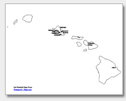
Map of Hawaii Cities with City Names
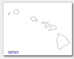
Hawaii State Outline Map
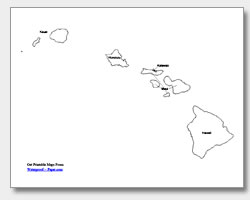
Blank Hawaii County Map
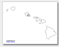
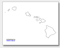
Blank Hawaii City Map
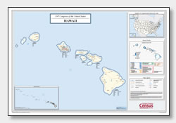
Hawaii Congressional District Map
(114th Congress)
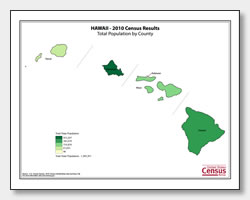
Hawaii County Population Map
(2010 Census)
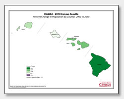
Hawaii County Population Change Map
(2000 to 2010 Census)
ADVERTISEMENT
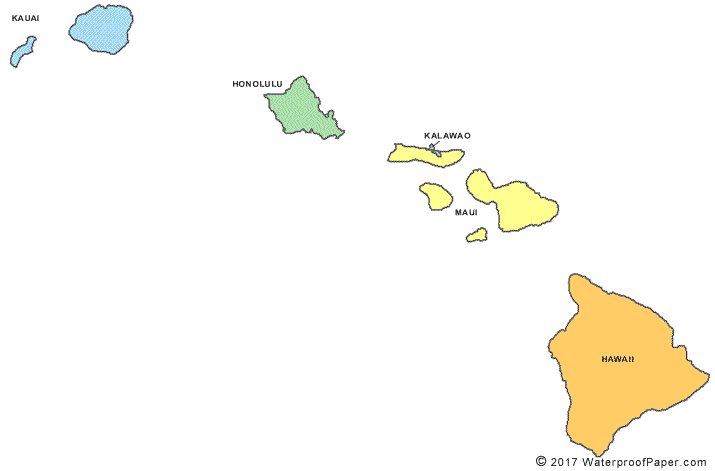
Click the map or the button above to print a colorful copy of our Hawaii County Map. Use it as a teaching/learning tool, as a desk reference, or an item on your bulletin board.
Look here for free printable Hawaii maps! The collection of five maps includes: two county maps (one with the county names listed and the other without), an outline map of the islands of Hawaii, and two major cities maps. One city map has the city names: Mililani Town, Pearl City, Waipahu, Waimalu, Kaneohe, Kailua, Kahului, Kihei, Hilo, Honolulu, the capital city of Hawaii listed. The other city map has city location dots, and can be used by teachers for quizzes and practice. These downloadable maps are .pdf files that work well with almost any printer. You will find these maps great for reference, teaching or planning purposes.