

Home » Free Printables » Printable Maps » Florida
Printable Florida Map Collection
County Map - City Map - State Outline Map

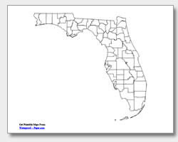
Florida County Map with County Names

Map of Florida Cities with City Names
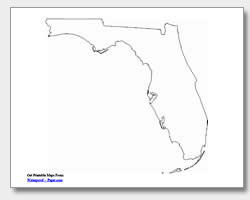
Florida State Outline Map
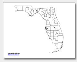
Blank Florida County Map
Blank Florida City Map
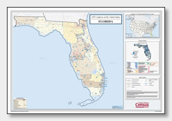
Florida Congressional District Map
(114th Congress)
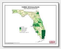
Florida County Population Map
(2010 Census)
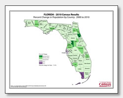
Florida County Population Change Map
(2000 to 2010 Census)
ADVERTISEMENT

Click the map or the button above to print a colorful copy of our Florida County Map. Use it as a teaching/learning tool, as a desk reference, or an item on your bulletin board.
Print your own Florida maps for free! Offered here is a great collection of printable Florida maps for teaching, planning and reference. These .pdf files will download and easily print on almost any printer. The various maps include: two county maps (one with county names listed and one blank), an outline map of the state, and two major cities maps (one with the city names listed and one with location dots). The major cities listed on the city map are: Jacksonville, Orlando, Tampa, St. Petersburg, Cape Coral, Fort Lauderdale, Pembroke Pines, Hialeah, Miami and the capital city of Tallahassee.