

Home » Free Printables » Printable Maps » Connecticut
Printable Connecticut Map Collection
County Map - City Map - State Outline Map
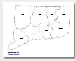
Connecticut County Map with County Names
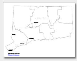
Map of Connecticut Cities with City Names
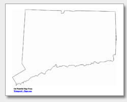
Connecticut State Outline Map
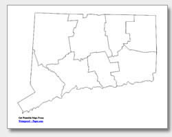
Blank Connecticut County Map
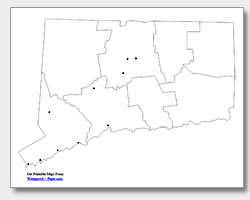
Blank Connecticut City Map
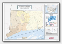
Connecticut Congressional District Map
(114th Congress)
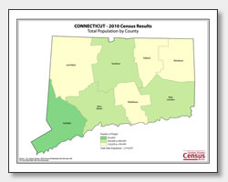
Connecticut County Population Map
(2010 Census)
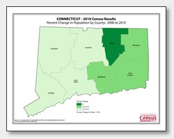
Connecticut County Population Change Map
(2000 to 2010 Census)
ADVERTISEMENT
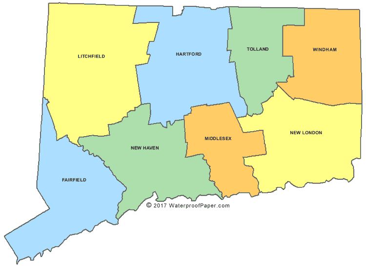
Click the map or the button above to print a colorful copy of our Connecticut County Map. Use it as a teaching/learning tool, as a desk reference, or an item on your bulletin board.
Looking for free printable Connecticut maps? We offer several different Connecticut maps, which are helpful for teaching or reference. These .pdf files can be easily downloaded and work well with almost any printer. Our collection includes: two city maps (one with major city names listed and one with location dots), two county maps (one with county names listed and one without), and an outline map of Connecticut. The cities shown on the major city map are: West Hartford, New Britain, Waterbury, New Haven, Bridgeport, Danbury, Norwalk, Stamford, Greenwich, and the capital city, Hartford.