

Home » Free Printables » Printable Maps » Arkansas
Printable Arkansas Map Collection
County Map - City Map - State Outline Map
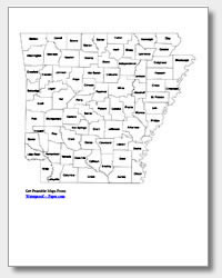
Arkansas County Map with County Names
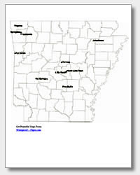
Map of Arkansas Cities with City Names
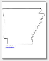
Arkansas State Outline Map
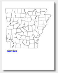
Blank Arkansas County Map
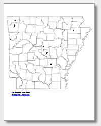
Blank Arkansas City Map
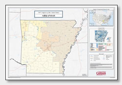
Arkansas Congressional District Map
(114th Congress)
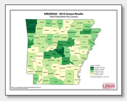
Arkansas County Population Map
(2010 Census)
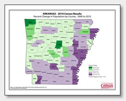
Arkansas County Population Change Map
(2000 to 2010 Census)
ADVERTISEMENT
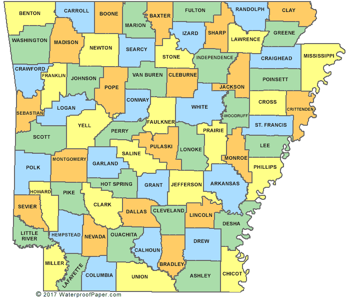
Click the map or the button above to print a colorful copy of our Arkansas County Map. Use it as a teaching/learning tool, as a desk reference, or an item on your bulletin board.
Download free printable Arkansas maps for personal use, reference and teaching. These five different Arkansas maps are .pdf files that are easy-to-print with almost any printer. For your use are: two Arkansas county maps (one with the county names listed and the other blank), an outline map of the state, and two maps for Arkansas's major cities (one listing the names and the other with location dots). The major cities listed are Rogers, Springdale, Fayetteville, Fort Smith, Jonesboro, Conway, North Little Rock, Hot Springs, Pine Bluff and Arkansas's capital of Little Rock.